
Scotch Plains ZIP Code Coverage at a Glance
USPS identifies 07076 as the primary Scotch Plains street-delivery association. The nearby codes below belong to postal identities or routing contexts that matter at the edges, but they are not evidence that every address using them lies in Scotch Plains. An exact address result is the controlling delivery answer. The table therefore distinguishes the primary association from neighboring context instead of declaring a municipal boundary from a postal code.
| ZIP Code | Areas covered or context | Post office identity | Research note |
|---|---|---|---|
| 07076 | Primary Scotch Plains street-delivery ZIP shown by USPS | Scotch Plains Post Office, 536 Park Avenue | Use the USPS address result for a specific street number. |
| 07069 | Neighboring postal area and processing relationship | Watchung-area postal identity | Appears in routing context; do not assign it to a Scotch Plains address without lookup. |
| 07080 | Neighboring postal area and processing relationship | South Plainfield-area postal identity | Routing data does not establish a township boundary. |
| 07023 | Nearby Fanwood postal boundary context | Fanwood | Not listed by the reviewed official source as a general Scotch Plains ZIP. |
| 07060–07063 | Plainfield postal boundary context | Plainfield | Verify the exact delivery address before assigning a ZIP. |
| 07090 | Westfield postal boundary context | Westfield | Not a Scotch Plains service assertion. |
The official Scotch Plains Post Office listing gives 536 Park Avenue, Scotch Plains, NJ 07076-9998. It is a practical contact point for the primary postal association, but the post-office page does not define township lines. USPS lists retail hours separately from PO-box access hours, so check the current office page when a visit is needed.
Use One Scotch Plains ZIP Code Without Treating It as a Resident List
A ZIP can narrow a starting set of addresses or a postal city association, but no official ZIP-wide Scotch Plains resident database was located. The verified approach is to use delivery geography to normalize an address, then move to the property or election source that has a documented access path. A ZIP-wide result may contain city associations or postal addresses; it does not confirm title, occupancy, voter registration, or a present household.
- Run the address through USPS and preserve the returned street suffix, city, ZIP, and ZIP+4 if one is supplied.
- For a known address in the verified postal area, use the New Jersey Property Explorer’s location search and its county, municipality, block, or lot filters. The research did not document a direct ZIP search field for the explorer.
- Save the returned property location, block, lot, annual-data year, owner field, classification, and values as parcel evidence. Compare the tax situs with the USPS result rather than replacing one with the other.
- Use Union County GIS for geometry and PAMS_PIN or OBJECTID, then inspect individual parcels if a street segment must be understood. A map layer is a spatial route, not a list of residents.
- For election information, use the official single-person registration check or make a specific request to the Board of Elections under the applicable rules. A request can describe an address area or ZIP, but the research does not support calling it an unrestricted ZIP portal.
Once an address is verified, the Scotch Plains Street Directory provides the address-to-parcel-to-deed sequence. That is the better route for a particular street number than trying to infer a record from ZIP alone.
Scotch Plains ZIP Code Lookup Fields and Modes
The USPS ZIP Lookup has three different tasks: By Address, By City and State, and Cities by ZIP. Use the mode that matches the clue already in hand. By Address corrects delivery formatting; By City and State returns postal ZIP associations; Cities by ZIP reverses the relationship. None of the modes is a directory of people, and each result should stay labeled as postal information.
| USPS mode or field | Use in a ZIP code search | What the result means |
|---|---|---|
| By Address | Enter the full street address to verify deliverability. | Can correct street suffix, city, ZIP, or ZIP+4; it does not establish occupancy. |
| Street Address | Required field for the address mode. | Provides the delivery-street starting point. |
| Company | Optional field in address mode. | Supplemental postal information, not a person identifier. |
| Apt/Suite/Other | Optional field for a unit or other address detail. | Helps postal matching where a unit is relevant. |
| City, State, ZIP | Supplied with the address search or used to explore a city association. | Postal labels that may differ from tax or municipal terminology. |
| By City and State / Cities by ZIP | Moves from a city to its postal association or back again. | Shows a postal relationship, not a township boundary or a household roll. |
Start at the USPS ZIP Lookup for the current delivery result. If a returned spelling differs from a tax-map label, keep both strings and identify which source supplied each. That small recordkeeping step avoids confusing a postal correction with a legal parcel description.
Scotch Plains ZIP Code Results Alongside Parcel Records
Property Explorer and the Union County parcel layer supply a different set of facts from USPS. The state explorer searches location or owner and supports county, municipality, block, and lot paths; its results can include owner, property location, block/lot, annual land value, annual building value, prior-year taxes, and classification. The county layer displays Location and exposes OBJECTID and PAMS_PIN. NJGIN supports county, municipality, block, and lot searching and may redact owner names under Daniel’s Law.
That means a ZIP code directory result should identify its source field before it is compared with another record. The delivery result answers a postal question. The assessor result is an annual tax answer. GIS supplies a spatial answer. A voter result, where one is properly available, answers an election-registration question. A property transfer can occur after annual data is filed, and a tax mailing address can point outside the township, so neither should be translated into a current-residence claim.
View the New Jersey Property Explorer before using its location, owner, block, or lot route.
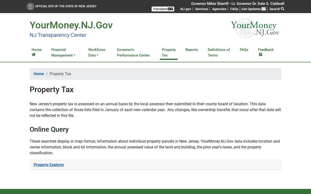
The page is a useful bridge after a postal lookup because it leads from a verified place string to a tax parcel. Preserve the annual-data date with the result, particularly when a deed or physical change may be more recent than the file.
Scotch Plains ZIP Code Boundaries Are Not Township Boundaries
Scotch Plains is a Union County township, while ZIP codes are postal delivery geography. A street may use 07076 and still need a parcel or municipal record to establish its tax jurisdiction. Conversely, a nearby postal city, county office location, or owner mailing address can appear in a record about a Scotch Plains parcel without changing the parcel’s situs. County records may show Elizabeth as a venue or office location because it is the county seat.
Several address systems can legitimately disagree. County tax maps and GIS rely on municipality, block, and lot. USPS prioritizes deliverability. Voter routing uses ward, district, and precinct. A historical directory can preserve the publisher’s street spelling or numbering. A PO box can make tax mailing, voter mailing, and physical situs diverge. The appropriate response is to preserve the field label and source date, not to force every string into one location claim.
Older records add another boundary wrinkle: Scotch Plains-area material can appear under Fanwood or Glenside Park, and early maps use Scotsplain. Those terms are historical search variants. Test them in directory, newspaper, or map research, then validate the parcel against its legal description or a reliable map.
Scotch Plains ZIP Code Geography and the Jersey Avenue Range
Union County’s street list illustrates why a ZIP needs a street-number check. The document records municipality, street, low and high number, side, ZIP, ward, and district. It displays Jersey Avenue numbers 2044–2306 on the east side with 07076. The list is useful geographic infrastructure because it shows a number range rather than a named person. Its coverage date was not identified, however, so it should not be used to make a current election or boundary statement.
For a present-day election question, consult the Union County where-to-vote page, which separates ward/district identification from polling-place lookup and dates its source databases. For a delivery question, return to USPS. For a parcel question, use the property or GIS record. This source-by-source division is the most dependable way to work from a ZIP into a specific address.
See the NJGIN parcels page for the statewide parcel-data route.
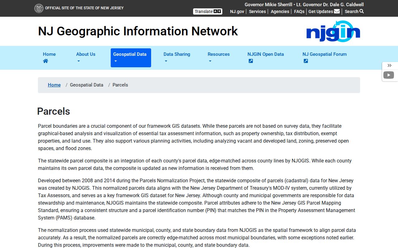
Parcel services changed during 2026, so the current NJGIN landing page is preferable to relying on an old service identifier. A redacted owner field is a privacy feature, not evidence that a parcel lacks an owner.
Limits and Definitions for the Scotch Plains ZIP Code Directory
The primary 07076 association is supported by the Scotch Plains Post Office page, but no reviewed official source established a ZIP-wide public directory of every resident. Use postal information as a filter or an address-quality check only where another portal allows it. If a record uses a protected or substitute address, do not attempt to reconcile it back to a physical location. The absence of a visible person field or owner field can reflect a lawful privacy limit.
- ZIP code
- A USPS delivery-geography code used to sort and route mail. It is not a municipal legal boundary.
- ZIP+4
- An added delivery-segment or box context that can refine mail routing but does not prove title, occupancy, or voter registration.
- PO-box ZIP
- A postal identity associated with post-office-box delivery. It can differ from the physical parcel’s municipality or tax situs.
- Unique ZIP
- A ZIP assigned to a particular receiving organization or delivery context. No specific Scotch Plains unique ZIP was established by the reviewed research.
- Carrier route
- A mail-delivery grouping within postal operations. It is not a person list or a boundary determination.
Use the source for its proper purpose. New Jersey address confidentiality protections and Daniel’s Law can require redaction or a substitute address. Respect those boundaries, avoid harassment or stalking, and ask the applicable custodian for the non-exempt portion of a record when an official route is available.